The Right Resolution for Your Needs
Captures crisp, vibrant imagery with super high resolutions that allow for detailed individual property visualization.
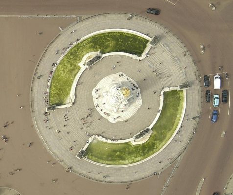
Orthogonal Imagery: A true top-down view
Orthogonal imagery provides a true top-down view and is rectified to align to a map grid.
This imagery solution easily integrates into your GIS data for a comprehensive understanding of properties, land features, local topography, and more.
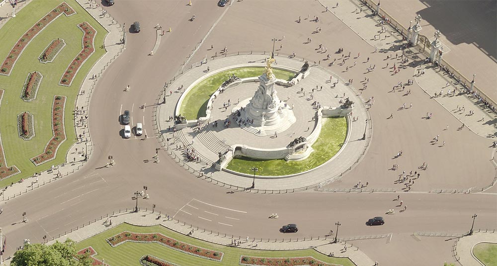
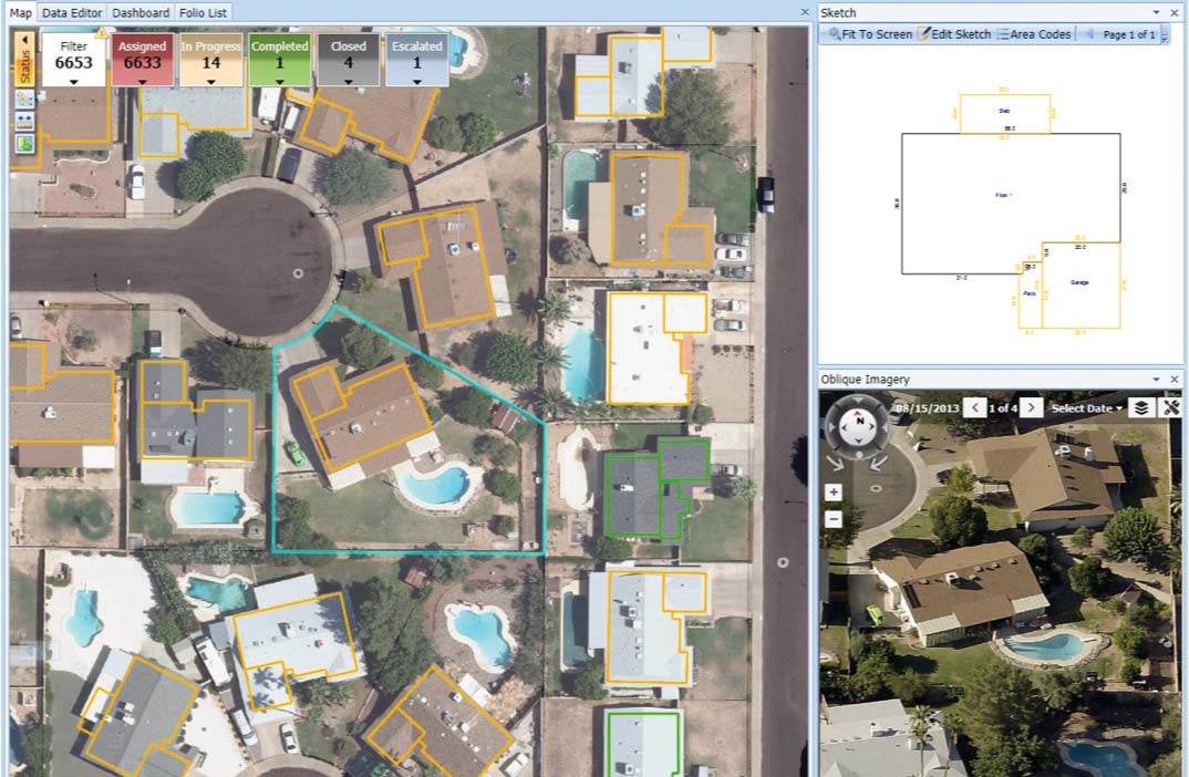
Oblique Imagery: Visualization from every angle
Oblique imagery is aerial imagery captured at an angle, designed to provide a more natural perspective and make objects easier to recognize and interpret.
These aerial images are captured from the four cardinal directions to offer a 360-degree view of every property and parcel. Every pixel in EagleView oblique imagery is georeferenced, giving users the ability to interact with, measure, and extract data from these actionable images.
ConnectExplorer™: Web-based imagery access and analysis
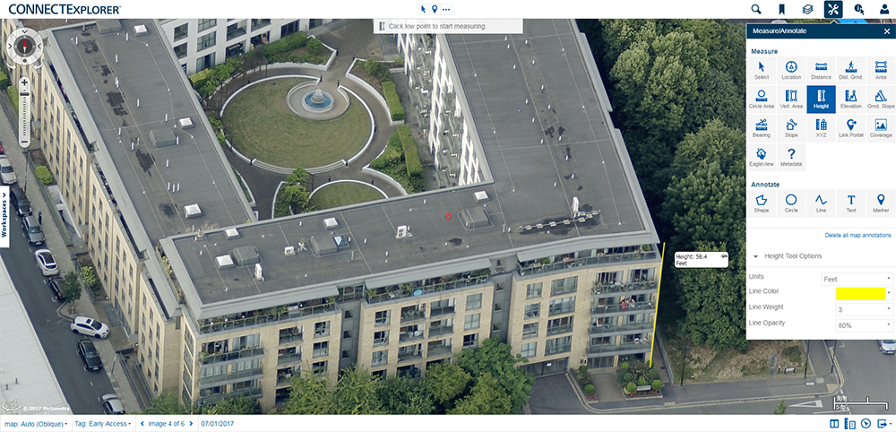
ConnectExplorer™ is a powerful, lightweight web-based application that enables users to view and analyze EagleView imagery.
This robust, all-purpose application is intuitive to the workforce and requires minimal training to become proficient.
View and Analyze Imagery Online
With ConnectExplorer, users can save thousands of dollars a month in reduced on-site visits. This full-featured application allows for measurements on current and historical imagery.- Search, retrieve, and display imagery
- Measure distance, area, height, elevation, and slope of objects on oblique imagery
- Access recent, historical, and customer-supplied imagery
- Superimpose visual GIS content onto imagery and query GIS content at a location
Integrated Pictometry Application (IPA)
IPA is a robust integration that allows customers to embed a window into their existing third-party software applications.
- Web integration with EagleView imagery using JavaScript and iframes
- Easy to develop and embed into existing system and websites through a widget
- Search locations by geographic coordinates or address
- See multiple views and historical imagery at every location